

Starting from Avenches, the trail winds through the countryside and promises beautiful moments of contemplation and serenity until it reaches Payerne and its majestic Cluny abbey church.
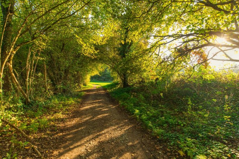
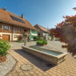
Outside of Avenches, the path heads towards Russy where the Catholic chapel houses the relics of St-Modeste. After the bridge overlooking the Arbogne, the path continues towards Montagny through the pleasant Chanea forest. The path then leads to the enclave of Tours and its church, an ancient sanctuary rebuilt in 1780 and restored in 1946.
In Payerne, the splendid Abbey, the largest Romanesque church in Switzerland, is to be discovered. Its frescos, impressive interior capitals, the elevation of its arcades and the "blonde" of its stones make it a unique place.
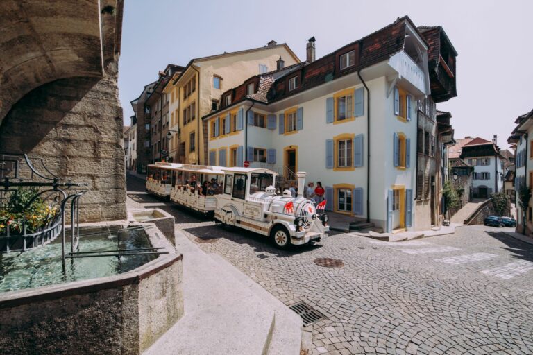
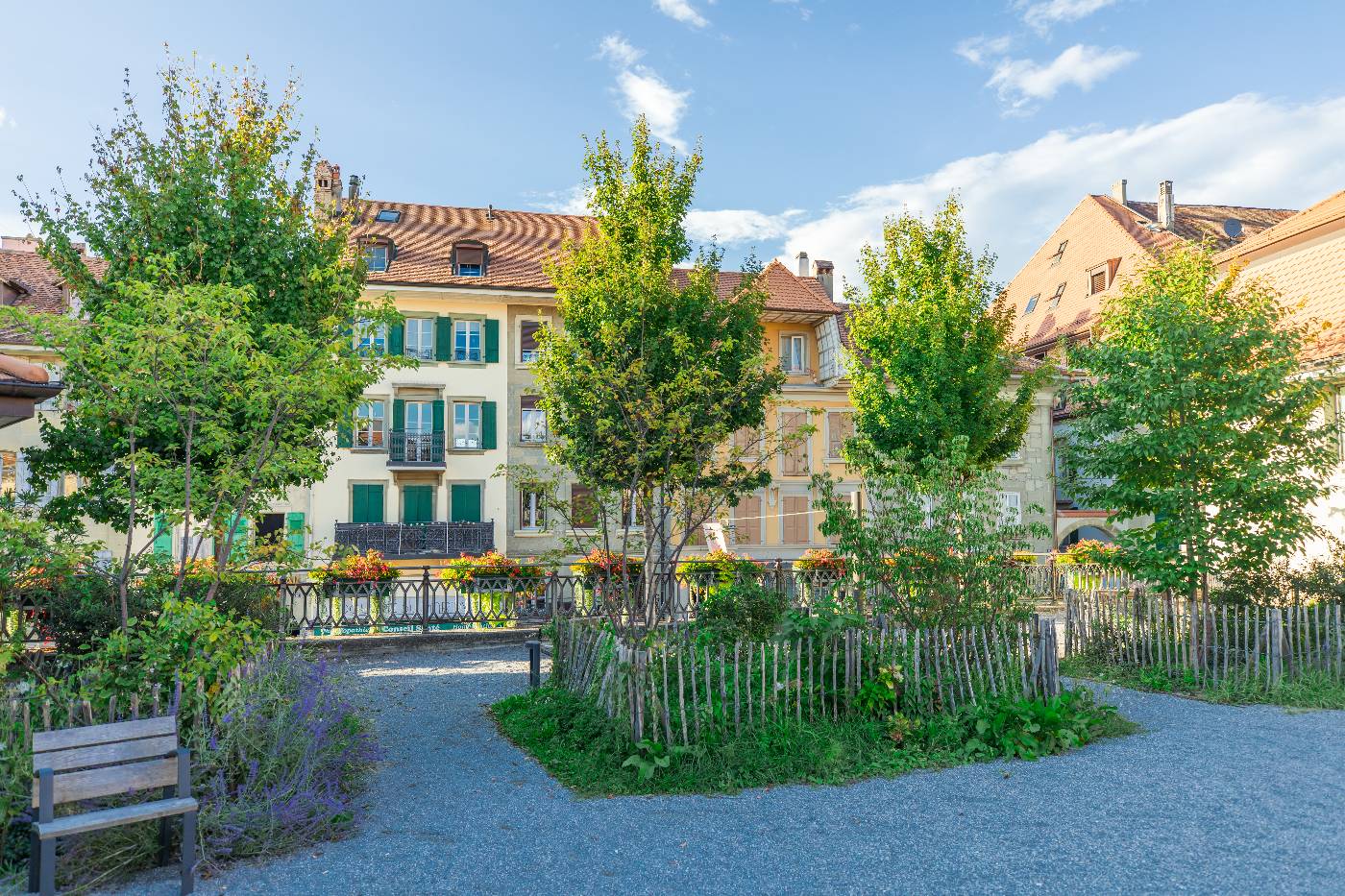
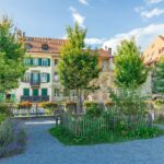
In the old town, many bourgeois and patrician houses are preserved, as well as part of the fortifications.
Tip: Take advantage of the opportunity to observe the hollow paths that witnessed the link between Freiburg and Payerne in the Middle Ages. In the Arbogne valley, take the time to admire the Roman aqueduct.
Information
Estavayer-le-Lac Région, Place des Bastians 1, Estavayer-le-Lac
Place des Bastians 1
1470 Estavayer-le-Lac
Accessible by public transport: yes
Accessible by car: yes
Difficulty: Easy
Duration: 4h28


Properties of the itinerarie
Type of activity: Sports
Difficulty: Very easy
Duration: 03:08
Distance: 12 km
Ascent/Descent: +221m / -249m
Altitude min./max.: 447m / 598m